A Knowledge organiser that captures the essential knowledge and skills learnt throughout the mixed-age unit History, Y1/2 (B), What is history?
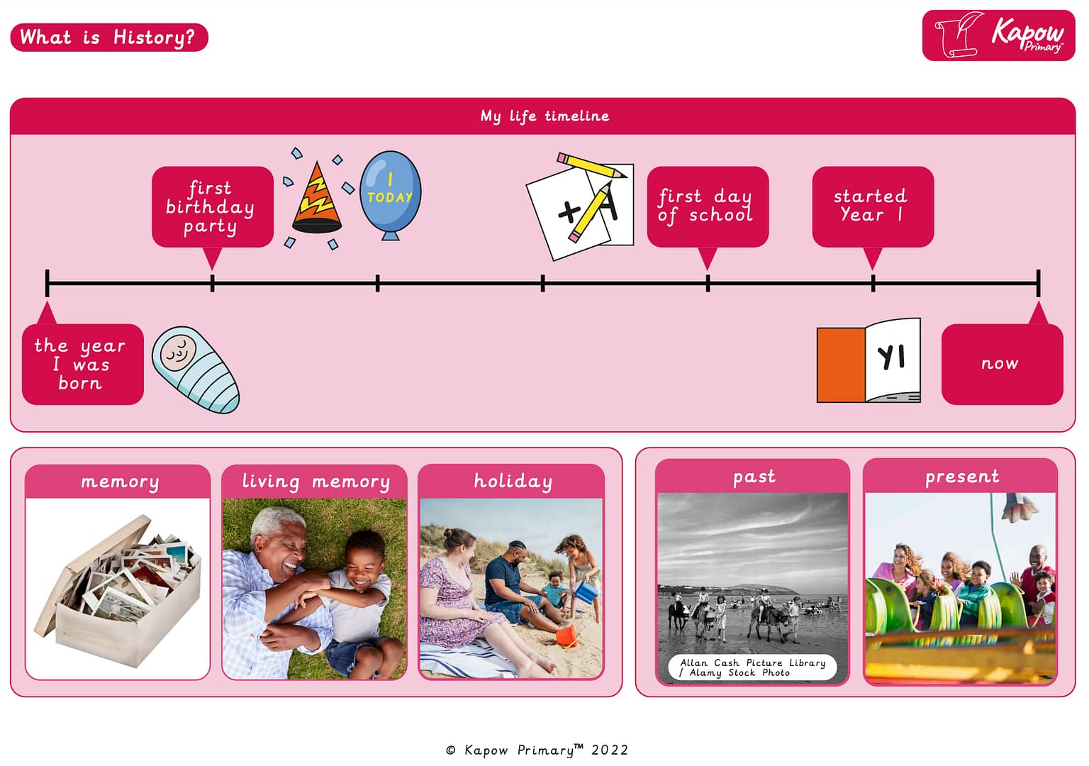
This resource is designed to introduce pupils to the concept of history by helping them explore their own past and understand the difference between past and present. It features a personalised timeline beginning with “the year I was born” through key milestones like “first birthday party” and “first day of school”, culminating in “now”. Supporting images and keywords such as memory, living memory, holiday, past, and present aid pupils in identifying events that shape personal and collective history. This resource lays the foundation for historical thinking through relatable, everyday experiences.
Note: The information in this resource can also be accessed online via the Art and design Curriculum portal.
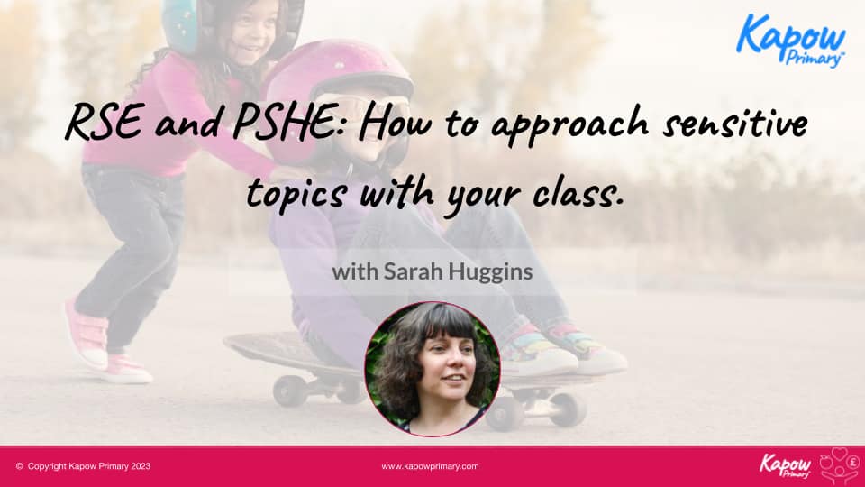
Discover how to create a safe and supportive learning environment for your pupils with careful consideration and planning.
In this webinar, subject specialist Sarah Huggins:
- Guides you through discussing topics that may be considered sensitive or difficult.
- Explores ways to cover these topics safely and effectively in the primary classroom.
- Discusses ways to ensure that the learning environment is supportive for children.
- Considers staff well-being in relation to teaching these topics.
Also, see how our RSE and PSHE scheme can support your school in covering these topics effectively.
This document demonstrates how pupils understanding of key geographical concepts is expected to build as they follow the Kapow Primary Geography curriculum covering:
The geographical concepts covered include:
- Place
- Space
- Scale
- Interdependence
- Physical and human processes
- Environmental impact and sustainable development
- Cultural awareness and diversity

Note: The information in this resource can also be accessed online via the R&W Curriculum portal.
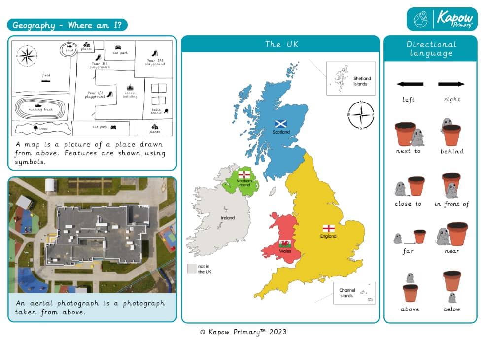
A Knowledge Organiser that captures the essential knowledge and skills learnt throughout the unit Geography, Y1/2 (B), Where am I?
This resource is designed to help pupils build foundational geographical understanding by exploring maps, aerial photographs, and the use of directional language. It introduces key locational terms such as left, right, behind, close to, and in front of, along with concepts like aerial photograph and map symbols. The UK map is included to familiarise pupils with the four nations and key geography skills. This resource supports early spatial awareness and positional vocabulary, fostering pupils’ confidence in describing location and direction in their local environment.
Note: The information in this resource can also be accessed online via the History Curriculum portal.
Note: The information in this resource can also be accessed online via the Geography Curriculum portal.