




- Subjects >
- Geography >
- Key stage 1 >
- Year 1 >
Unit outcomes
Pupils who are secure will be able to:
- Locate three features on an aerial photograph of the school and know the name of the country and village, town or city in which they live.
- Make a map of the classroom with four key features, using objects to represent the distance and direction of features in the classroom.
- Recognise four features in the school grounds using a map.
- Explain how they feel about three areas of the playground and find out how others feel by looking at the results of a survey.
- Draw a design to improve three areas of the playground using the results from the survey.
Lesson 3 involves fieldwork on the school grounds. It is important to risk-assess the proposed route taking into account any relevant school risk assessment policies and procedures. Refer to the Before the lesson section in Lesson 3 to prepare for this lesson. Please be aware this lesson may take longer than 1 hour.
Suggested prior learning
Exploring maps
Get started
Lessons
Lesson 1: Where in the world are we?
Lesson 2: What can we see in our classroom?
Lesson 3: What can we find in our school grounds?
Lesson 4: Where are the different places in our school?
Lesson 5: How do we feel about our playground?
Lesson 6: Can we make our playground even better?
Key skills
- Recognising some physical features

This content is for subscribers only. Join for access today.
Key knowledge
- To know that the
This content is for subscribers only. Join for access today.
Key vocabulary
aerial photograph
aerial view
This content is for subscribers only. Join for access today.
Equipment list
Equipment needed across all lessons in this unit.
This list does not include equipment which is usually readily available in the classroom (e.g pencils, A4 paper etc)
 Download
Full equipment list for the subject
Quantities marked × will update. Items without quantities are unaffected
- Atlas ×15
-
Enlarged colour aerial photograph of the local area including the school and grounds
×8 -
Photographs of key features in your school grounds (such as: the school building, play
×8
equipment, field, or trees.) - Class photograph of the children or a label with the class name on ×8
- Digital camera ×8
- Digital device (internet-enabled) ×15
-
A variety of maps (such as: floor plans, bus and train maps, street maps, atlases and globes for each table group).
×8 -
Classroom objects to make messy maps (such as: cubes, bears, counters, bean bags, rulers, pencils, books, glue sticks etc.)
×8 - Clipboards ×1
- Chalk ×30
- Teddy or soft toy
-
Large rolls of paper
×8 - Sticky notes
-
An enlarged simple map of the playground with up to six areas located (such as: the climbing frame, the bench, and the field).
×8
This content is for subscribers only. Join for access today.
Related content
Unit resources


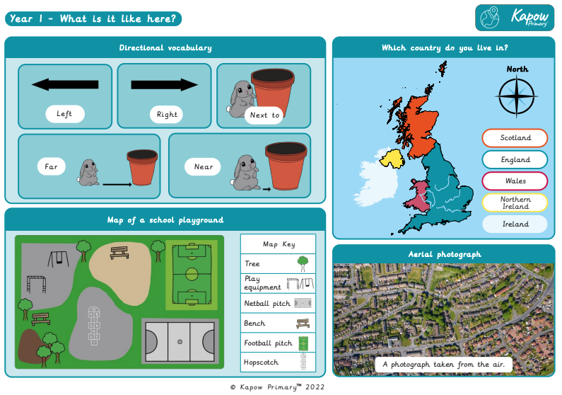
Knowledge organiser: Geography – Y1 What is it like here?
Aimed at pupils, a single page which gives key facts and definitions from the unit "What is it like here?".
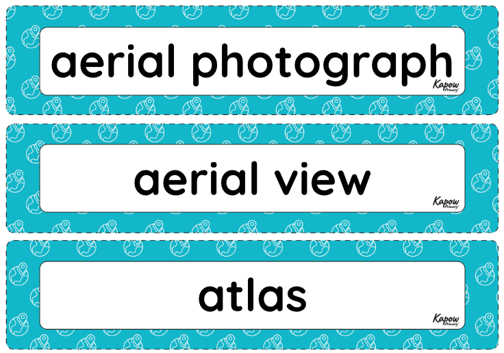
Vocabulary display: What is it like here?
A display version of the vocabulary from the What is it like here? unit.
Subject resources
This content is for subscribers only. Join for access today.
Cross-curricular opportunities
- English: Spoken language: participating in collaborative discussions about the local area and sharing viewpoints about the playground.
- Maths: Geometry – position and direction: using directional language to describe locations on a map.
- Art and design: drawing ideas and observations linked to the local environment.
- RSE & PSHE: discussing ways to care for the playground environment.
Build on the learning
What is the weather like in the UK?
Get started
