


- Subjects >
- Geography >
- Key stage 1 >
- Year 2 >
Unit outcomes
Pupils who are secure will be able to:
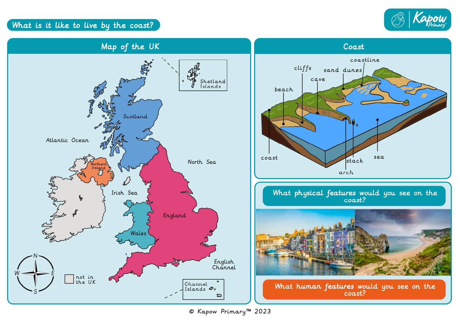
- Name and locate the seas and oceans surrounding the UK in an atlas.
- Label these on a map of the UK.
- Describe the location of the seas and oceans surrounding the UK using compass points.
- Define what the coast is.
- Locate coasts in the UK.
- Name some of the physical features of coasts.
- Explain the location of UK coasts using the four compass directions.
- Name features of coasts and label these on a photograph.
- Identify human features in a coastal town.
- Describe how people use the coast.
- Follow a prepared route on a map.
- Identify human features on the local coast.
- Record data using a tally chart.
- Represent data in a pictogram.
- Describe how the local coast has been used.
Lesson 5 involves fieldwork in the local coastal town (if this is not possible, visit a local village, town or city that attracts visitors. Please note: if a coast is not visited, parts of the lesson plan may need to be amended to suit the chosen location). It is important to risk-assess the proposed route taking into account any relevant school risk assessment policies and procedures. Please be aware that lesson 5 may take longer than 1 hour.
Lessons 2 and 4 require a device (one between two).
Suggested prior learning
Why is our world wonderful?
Get startedLessons
Lesson 1: Where are the seas and oceans surrounding the UK?
Lesson 2: What is the coast?
Lesson 3: What are the features of the Jurassic Coast?
Lesson 4: How do people use Weymouth?
Lesson 5: How do people use our local coast? (Data collection)
Lesson 6: How do people use our local coast? (Findings)
Key skills
- Showing on

This content is for subscribers only. Join for access today.
Key knowledge
- To know
This content is for subscribers only. Join for access today.
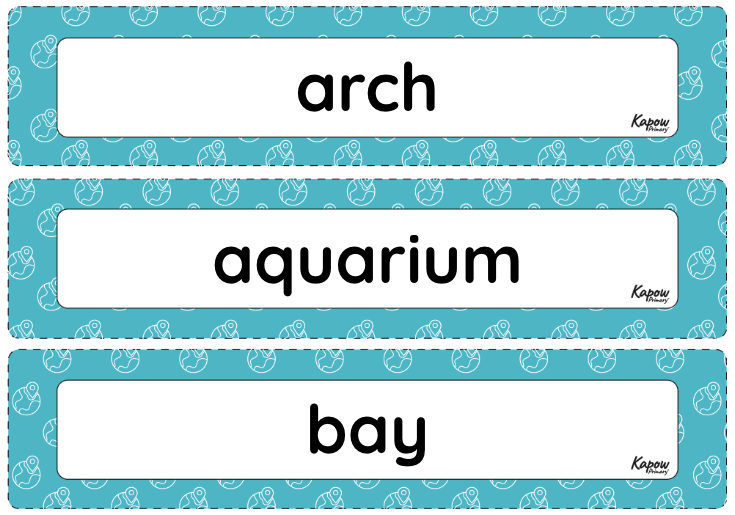
Key vocabulary
arch
aquarium
This content is for subscribers only. Join for access today.
Related content
Unit resources

Knowledge organiser: Geography – Y2 What is it like to live by the coast?
Aimed at pupils, a single page which gives key facts and definitions from the unit "What is it like to…
Vocabulary display: What is it like to live by the coast?
A display version of the vocabulary from the unit 'What is it like to live by the coast?'
Subject resources
This content is for subscribers only. Join for access today.
Cross-curricular opportunities
English: Spoken language
Computing
Maths: Statistics