Lesson 4: What is there to do in our local area?
Visiting the local area to find out what there is to do; mapping recreational land use on an OS map; using the data collection skills of questioning, sketching and taking photographs.
New statutory RSHE guidance is here. We’re creating our brand new RSE & PSHE scheme ready for September 2026. Learn more
Learning objective
This content is for subscribers only. Join for access today.
Success criteria
This content is for subscribers only. Join for access today.
Before the lesson
This content is for subscribers only. Join for access today.
Lesson plan
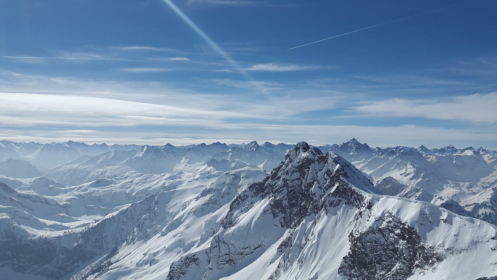
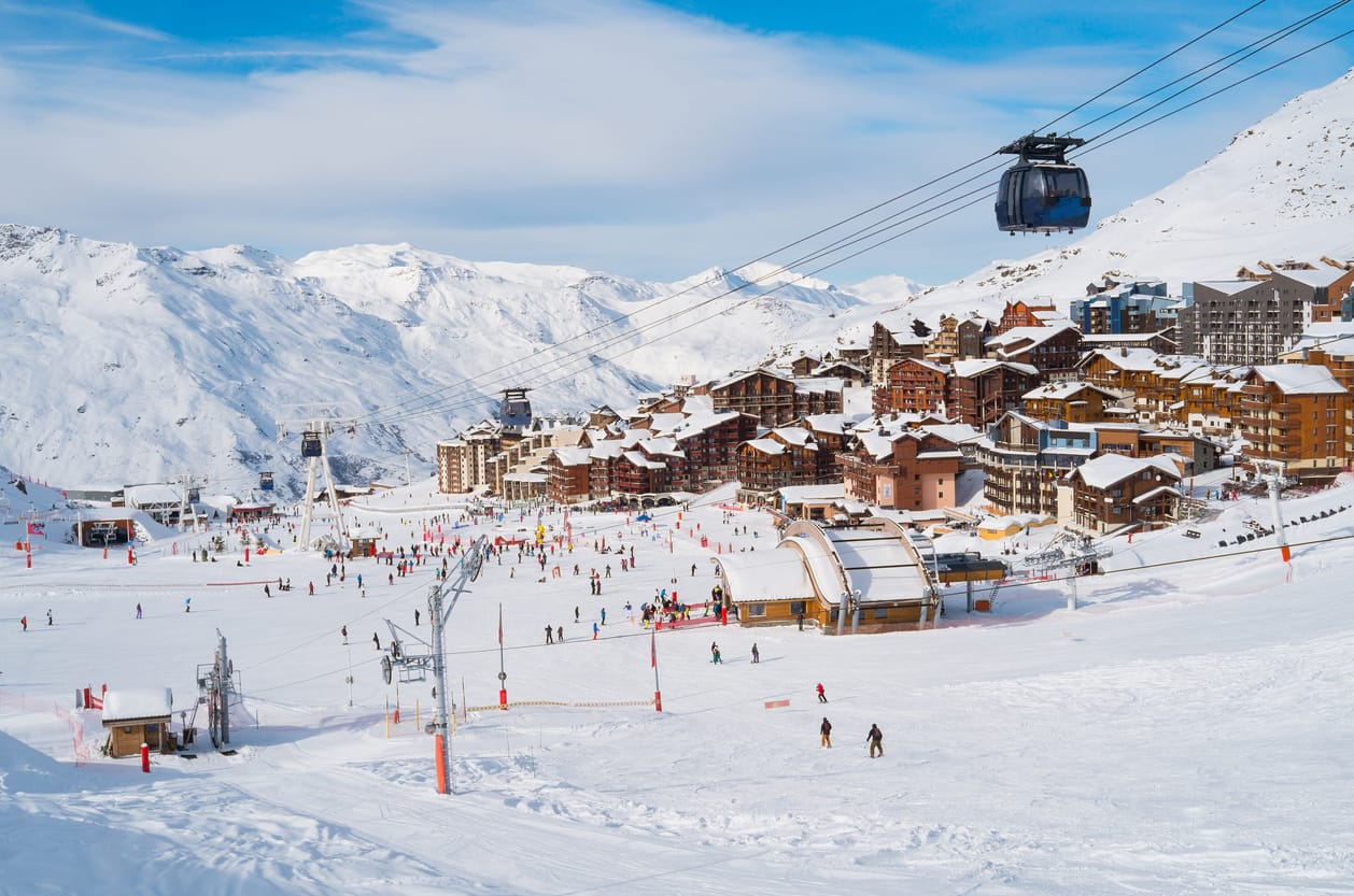
Explain that the children will create a mind map to help them remember what they learnt about Innsbruck in the previous lesson. Hand out whiteboards and pens and display the Presentation: Mind map. Read the slide aloud and allow time for the children to complete the activity.
This content is for subscribers only. Join for access today.
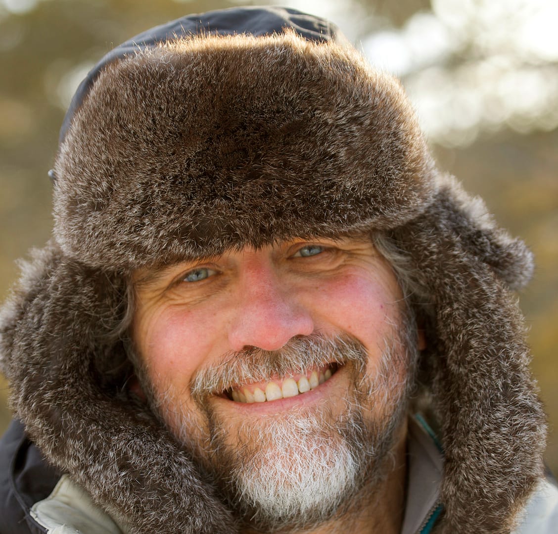
Dr. Michael Leach is an author and scientist with more than 60 books, in 20+ languages, to his name. He writes on the environment, endangered habitats and wildlife and his particular areas of interest are complex ecosystems such as rainforests and polar regions. Michael has worked extensively in all seven continents exploring some of the world’s most remote habitats.
Michael speaks to schools around the world as visiting author/scientist, educating and inspiring young people about sensitive habitats such as the Amazon, Antarctic, deserts, tundra and the threat they face through climate change. He presents live online wildlife events for UK and International Schools and is a regular judge for the Association of British Science Writers’ Young Science Writer of the Year Awards and Jackson Wild Film Festival in the USA. His most recent book is Rainforest Pub. DK
Find out more